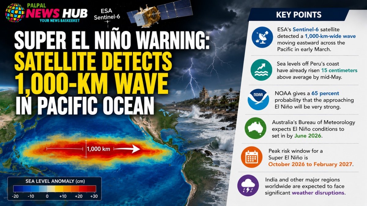
Key Points
- ESA’s Sentinel-6 satellite detected a 1,000-km-wide wave moving eastward across the Pacific in early March
- Sea levels off Peru’s coast have already risen 15 centimeters above average by mid-May
- NOAA gives a 65 percent probability that the approaching El Niño will be very strong
- Australia’s Bureau of Meteorology expects El Niño conditions to set in by June 2026
- Peak risk window for a Super El Niño is October 2026 to February 2027
- India and other major regions worldwide are expected to face significant weather disruptions
Scientists monitoring the Pacific Ocean have detected an extraordinary and potentially consequential development. A European Space Agency satellite has identified a massive water wave stretching 1,000 kilometers in width moving through the region, a phenomenon that meteorologists are now interpreting as a direct precursor to a powerful El Niño event.
The disturbance has triggered concern among climate agencies worldwide. The U.S. National Oceanic and Atmospheric Administration has issued a formal warning, identifying the period between October 2026 and February 2027 as the window of highest risk for the emergence of what scientists are calling a Super El Niño, one with the potential to disrupt weather patterns across large parts of the world, including India.
What the Satellite Revealed
The satellite at the center of this discovery is the Sentinel-6 Michael Freilich, a joint NASA-ESA mission launched in 2020 that passes over the same ocean areas every 10 days. Its primary function is to measure sea surface height with exceptional precision, which in turn allows scientists to infer ocean temperatures across vast areas.
In early March, the satellite detected a new wave beginning to travel eastward through the Pacific. The wave, approximately 1,000 kilometers wide, triggered significant changes deep within the ocean’s interior. By mid-May, sea levels off the coast of Peru had climbed 15 centimeters above their average level, a measurable and alarming indicator of warming below the surface.
Australia’s Bureau of Meteorology, one of the most respected institutions for Pacific weather monitoring, has assessed that El Niño is likely to establish itself as early as June 2026.
Understanding Super El Niño
El Niño is a naturally recurring climate phenomenon driven by unusual warming of surface waters in the central and eastern Pacific Ocean. A standard strong El Niño event is defined by a rise of approximately 3.6 degrees Fahrenheit in sea surface temperatures. When that warming reaches or exceeds 2 degrees Celsius above normal baselines, the event is classified as a Super El Niño.
According to NOAA’s forecast issued on May 14, there is a 65 percent probability that the current developing event will reach that threshold, making it one of the most powerful and far-reaching El Niño episodes on record. The active phase is expected to begin in June 2026 and persist through February 2027, with scientists noting this represents a 20 percent increase in projected intensity compared to earlier assessments.
Global and Regional Consequences
A Super El Niño of this magnitude would carry sweeping consequences for global weather systems. Countries across South Asia, Southeast Asia, East Africa, and the Americas could experience severe disruptions, including irregular monsoons, intensified droughts, heavier-than-normal rainfall, and temperature anomalies. For India, where agricultural cycles and water supply are closely tied to monsoon performance, the implications of a disrupted rainfall season could be particularly serious.
Climate agencies are urging governments and disaster preparedness bodies to begin planning now, well ahead of the October peak risk window.