



































Key Points
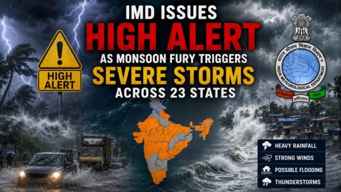
- Severe weather alerts cover 23 states, with the heaviest rainfall expected to lash northern, eastern, and northeastern regions.
- A powerful low-pressure system over Madhya Pradesh is fueling the current storm cycle, heading toward Uttar Pradesh.
- Mumbai faces non-stop wet weather with no relief predicted until at least July 15.
- The Brahmaputra River has breached its banks, worsening the ongoing flood crisis in Assam and neighboring states.
- Specialized safety advisories have been issued to protect farmers and fishermen from lightning and high winds.
A massive weather system has locked over the Indian subcontinent, bringing intense monsoon conditions to nearly two dozen states. According to meteorologists, the primary engine behind this severe weather is a low-pressure area, a large atmospheric system that pulls in moisture and breeds storms, currently spinning over northwest Madhya Pradesh and southwest Uttar Pradesh.
This system is projected to track north-northwest before pivoting northeast directly into the heart of Uttar Pradesh, dragging dense moisture fields along its path. As a result, regions in its direct trajectory are preparing for violent squalls with wind speeds accelerating up to 90 km/h.
Regional Breakdown of Rainfall Intensities
The weather department has categorized the expected rainfall into two distinct alert levels based on precipitation volume. The following data highlights the regions most at risk over the next 24 hours:
| Rainfall Category | Precipitation Range | Affected States and Regions |
|---|---|---|
| Very Heavy Rainfall | 115.6 to 204.4 mm | Uttarakhand, East Madhya Pradesh, Sub-Himalayan West Bengal, Sikkim, Bihar, Arunachal Pradesh, Assam, Meghalaya |
| Heavy Rainfall | 64.5 to 115.5 mm | Himachal Pradesh, Punjab, East Uttar Pradesh, West Madhya Pradesh, Gangetic West Bengal, Nagaland, Manipur, Mizoram, Tripura, Konkan and Goa, Madhya Maharashtra, Gujarat region, Kerala, Mahe, Coastal and South Interior Karnataka |
Crucial Impact Zones: Urban and Rural Warnings
No Breathing Room for Mumbai and Delhi-NCR
Financial hub Mumbai and its surrounding suburbs will see no relief from the downpours. The current weather model shows a relentless pattern of light to moderate rainfall punctuated by sudden, severe deluges that will last until at least July 15, raising the risk of urban waterlogging and transit delays.
Meanwhile, the Delhi-NCR region can expect persistent gray skies and lighter, patchy showers. However, the capital remains vulnerable to sudden morning and afternoon thunderstorms accompanied by lightning and gusty winds reaching up to 50 km/h. On the positive side, these conditions will keep Delhi’s maximum temperatures comfortably below normal, hovering between 32°C and 34°C.
Rising Floods in Eastern India
In the northeast, the situation is turning critical. Continuous heavy rain has pushed major river systems, including the mighty Brahmaputra and its key tributaries, into a state of spate, meaning they are rapidly overflowing their natural banks. This has triggered severe flooding across Assam, Meghalaya, and Arunachal Pradesh, cutting off low-lying communities and damaging local infrastructure.
High-Risk Districts in Uttar Pradesh
With the low-pressure system veering toward Uttar Pradesh, the local government has issued localized emergency warnings for a long list of vulnerable districts. Residents in Meerut, Noida, Ghaziabad, Gautam Buddha Nagar, Muzaffarnagar, Agra, Amethi, Amroha, Ayodhya, Baghpat, Kannauj, Kanpur Dehat, Banda, Barabanki, Etah, Etawah, Mainpuri, Pratapgarh, Prayagraj, Raebareli, Shamli, Sitapur, Sultanpur, and Unnao have been advised to minimize unnecessary travel and secure loose outdoor property.
Agricultural and Maritime Advisories: Because wind gusts could hit 90 km/h, authorities have issued strict directives. Fishermen are barred from venturing into rough coastal waters along the western and southern peninsular tracks. Simultaneously, farmers have been urged to suspend pesticide spraying and harvesting operations, and to avoid standing near tall trees or heavy machinery during active lightning storms.