Key Highlights
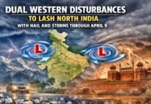
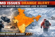
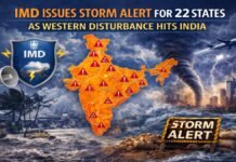
- Twin Weather Systems: The first disturbance is active today, February 6, followed by a second, more potent system expected between February 9 and 11.
- Hilly Regions on High Alert: Heavy snowfall and rain are predicted for Jammu and Kashmir, Ladakh, and Himachal Pradesh, with Uttarakhand seeing impacts starting February 9.
- Plains Facing “Triple Threat”: Residents in Uttar Pradesh, Bihar, and Delhi-NCR should prepare for a combination of dense fog, dipping temperatures, and gusty winds.
- Commuter Advisory: Surface winds of 20 to 30 km/h and low visibility are likely to disrupt road and rail traffic across the northern belt.
North India is currently navigating a significant meteorological shift as the India Meteorological Department (IMD) tracks two distinct Western Disturbances. The first system began influencing the Western Himalayan region late yesterday and continues to impact weather patterns today, February 6. However, meteorologists are closely monitoring a second, more intense system slated to arrive early next week, which could bring a prolonged spell of winter activity to the region.
In the high-altitude regions of Jammu and Kashmir, Ladakh, and Himachal Pradesh, the current disturbance is already triggering isolated to scattered snowfall. This activity is expected to intensify significantly during the second wave starting February 9, potentially leading to temporary closures of key mountain passes and disrupting local connectivity.
Impact on Delhi-NCR and the Northern Plains
The national capital and its surrounding areas are experiencing partly cloudy skies today, with strong surface winds serving as a reminder of the season’s persistence. These winds, clocked between 15 and 25 km/h, are keeping the daytime temperatures cool despite occasional sunshine. While major rainfall is not expected in the Delhi-NCR plains, the primary challenge remains the early morning mist and shallow fog that has reduced visibility for commuters.
Conditions in Uttar Pradesh and Bihar are expected to be notably harsher. The IMD has warned of a “triple threat” for these states, involving dense fog, a sudden drop in minimum temperatures, and biting winds. In western Uttar Pradesh specifically, wind speeds of up to 30 km/h could cause the mercury to slide by an additional 2 degrees Celsius over the next 48 hours.
Regional Breakdown and Safety Measures
The atmospheric changes are not limited to the north alone. While states like Maharashtra are seeing a gradual rise in temperatures, the northern corridor remains in the grip of the westerlies.
- Uttar Pradesh and Bihar: Dense to very dense fog is likely during morning and night hours, making highway travel hazardous.
- Rajasthan: Cloud cover and cold winds will persist, maintaining the winter chill throughout the weekend.
- Uttarakhand: While currently stable, the state is expected to see a surge in rain and snow activity starting February 9 as the second disturbance takes hold.
Authorities have advised residents to remain vigilant, particularly those living in areas prone to heavy snow or those planning travel across the affected states. The IMD continues to provide real-time updates through its Mausam and Meghdoot mobile applications to help citizens plan accordingly.


