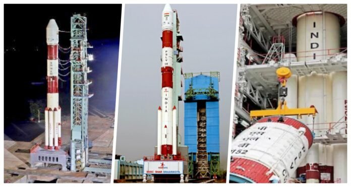
New Delhi: The Indian Space Research Organization (ISRO-ISRO) has successfully launched its first radar imaging satellite of this year, the Earth Observation Satellite (EOS-04), from the Satish Dhawan Space Center in Andhra Pradesh this morning. ISRO has launched this satellite from the launch pad at 05.59 am today with two small co-passenger satellites from PSLV. Through PSLV, ISRO has sent Earth Observation Satellite or Earth Observation Satellite (EOS-04) into space. The name of this satellite is also Radar Imaging Satellite, which will send an accurate picture of the Earth’s surface to ISRO.
ISRO has sent two more small satellites into space with this satellite. The EOS-04 satellite weighing 1,710 kg by PSLV-C52 will be placed in the polar orbit of the Sun at a distance of 529 km from the planet. ISRO has also launched a student satellite INSPIRESat and another INSAT-2DT satellite with the same satellite from the four-stage rocket PSLV. INSAT-2DT is a joint mission of India and Bhutan.
Will send the correct picture of the flood on the earth
After the success of the mission, ISRO Chairman S Somnath has given this information by tweeting. He tweeted, PSLV-C52’s mission has been successfully launched. Actually, Radar Imaging Satellite (RISAT) is called Earth Observation Satellite-4 (Earth Observation Satellite-04). This satellite will send high-quality images of the earth in any weather. With this, accurate mapping of a flood, soil erosion, forest, agriculture, greenery, etc. can be done. This spacecraft will collect data received from Resource Satellite, Cartosat, and RISAT-2B series satellites in C-band. The tenure of this satellite will be 10 years.
Students’ satellites also launched
Two small satellites have also been launched with this mission. One of these is (INSPIREsat-1) satellite which was built by the students of IIST (Institute of Space Science and Technology -IIST) in collaboration with the students of the Laboratory of Atmosphere and Space Physics at the University of Colorado, USA. Is. The students of NTU of Singapore have also contributed to this satellite. The payloads present in this satellite will help to better understand the heat of the Sun.

Second satellite for Bhutan
The second satellite is INS-2TD. This satellite is a joint satellite of ISRO and Bhutan. It has thermal imaging cameras and payloads. This satellite will accurately measure the temperature of the Earth’s surface. Apart from this, we will be able to assess the wetlands, lakes, forests, crops, etc. in a better way. This is ISRO’s 54th flight from PSLV and the 23rd mission of ISRO with PSLV-XL.


